The creek bank runs barren of the usual riparian vegetation -- no willows, no rushes, no cottonwood trees, no snowberry nor elderberry -- just scraggly, stunted pines.
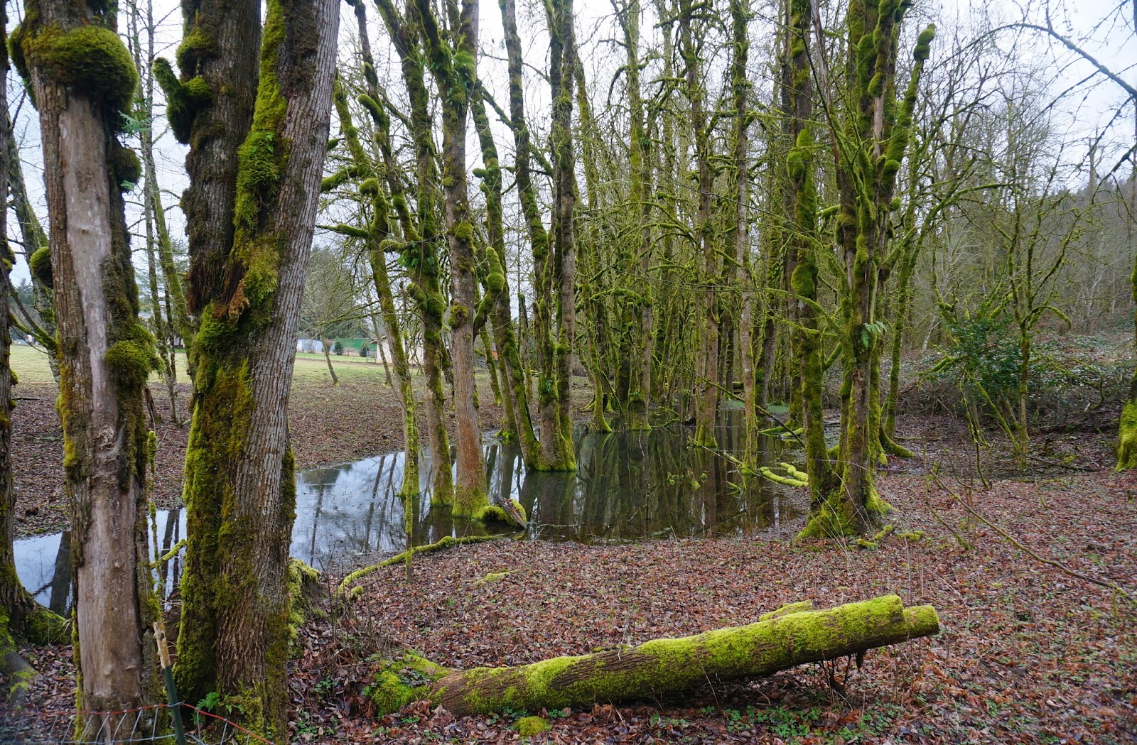
A mere 10 miles away, the trees grow tall and lush along another Josephine County creek.

What happened at Rough and Ready?
Why, despite 60 inches of rain a year, does the soil sustain only a chaparral scrub similar to what grows in the hot hills of California 500 miles to the South?

Why is this landscape so different from what it should be?
Millennia after millennia, inch by inch, earthquake by earthquake, the seafloor of the Pacific Ocean slammed against the Oregon coast, plunging into the guts of the planet, pushing up ancient rock scoured by pressure and heat and eon after eon of time.
Metamorphosed Serpentine the geologists call it, and it is bedrock bereft of minerals that nurture life and replete with those that are toxic.
Like a childhood filled with abuse or a marriage filled with violence or a young man's life consumed by an explosive device buried under a turn in the road of war….
This is not a fertile soil on which to grow, but a barren one.
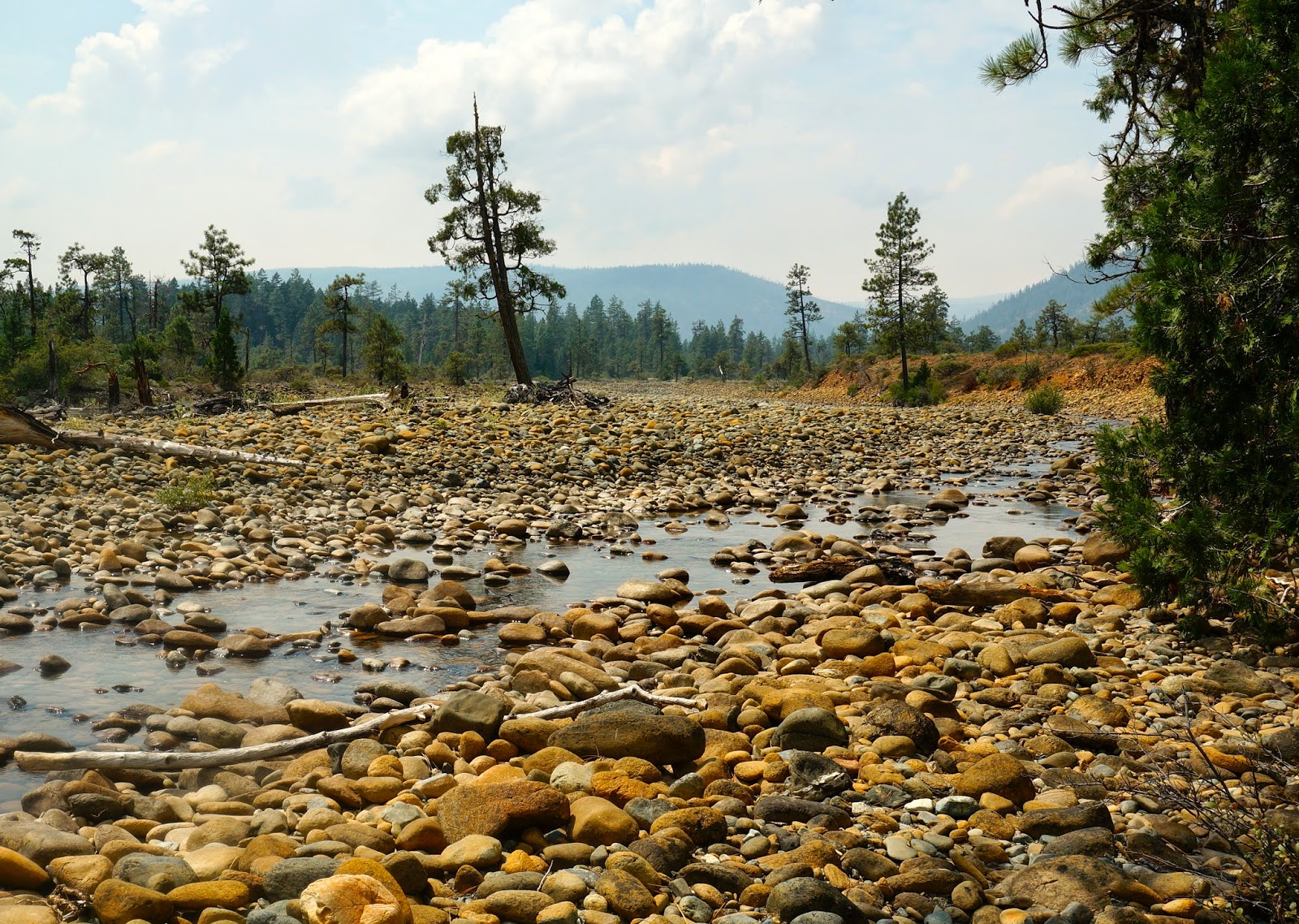
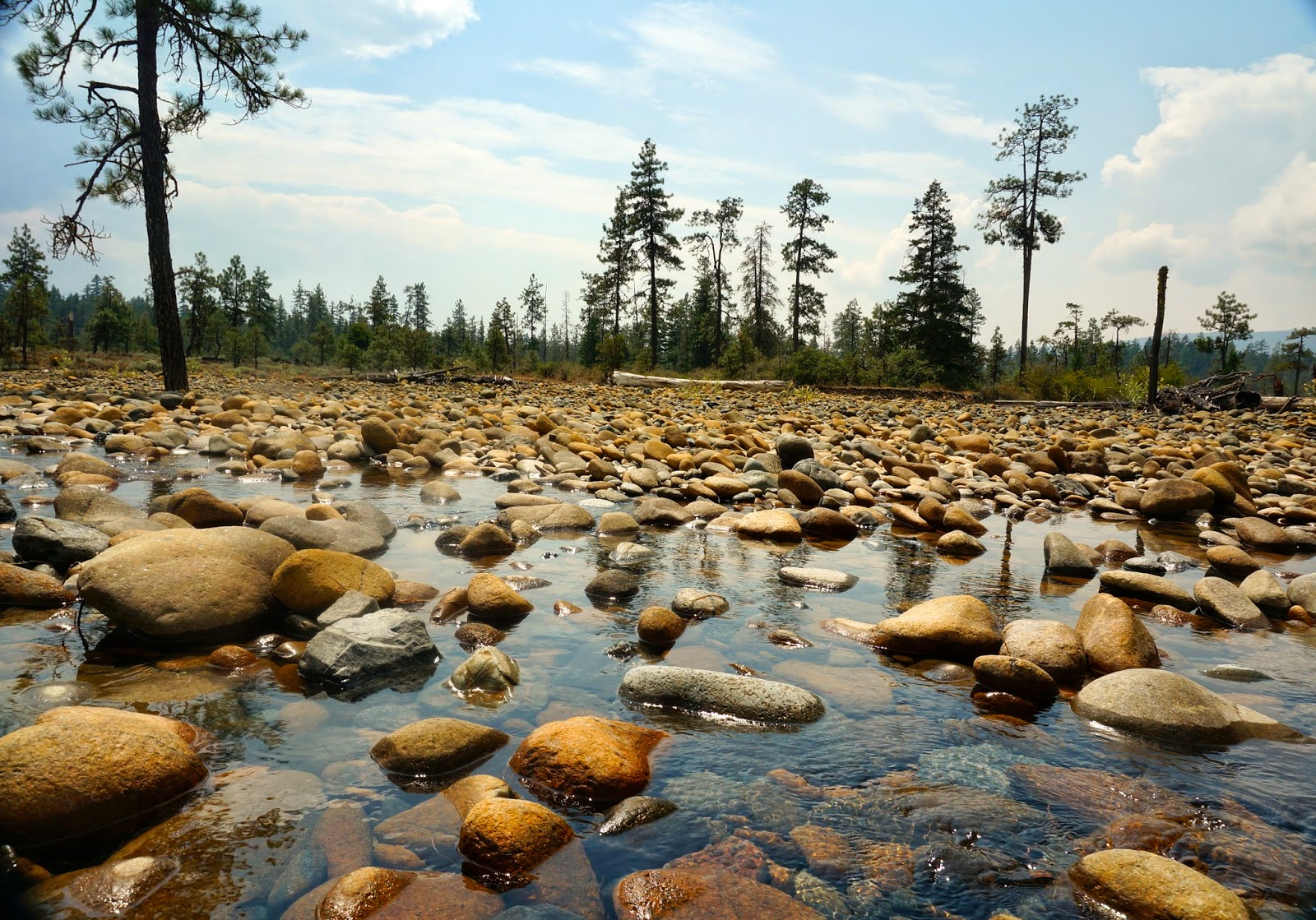
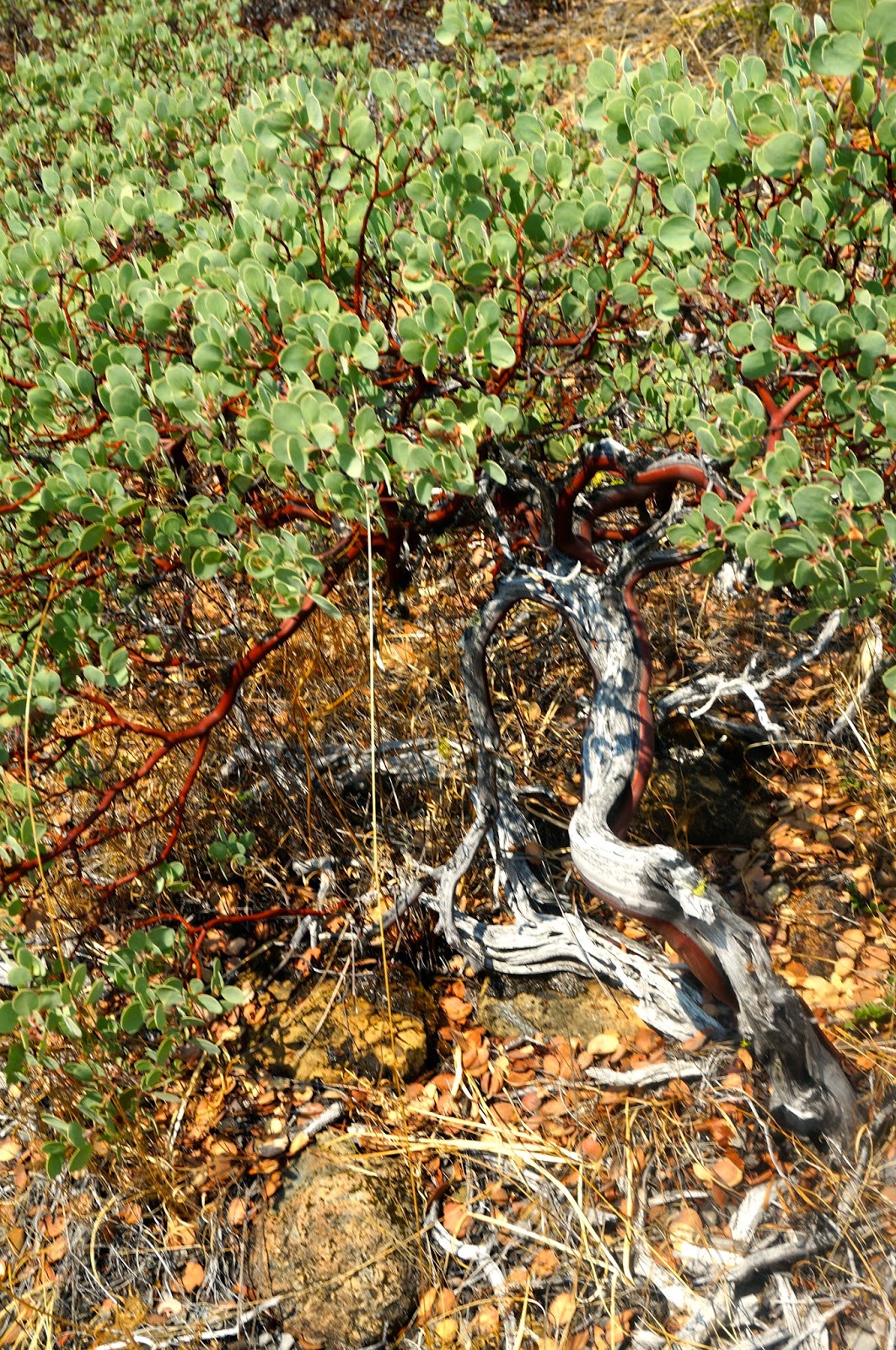
Worse, each winter brings another season of destruction. Come winter, Rough and Ready Creek flows full and floods across the plain. Come winter, rushing waters wash away top soils, leaving behind sand and gravel and cobble. Come summer, what rain falls quickly seeps through sand and stone -- leaving behind a dry and inhospitable landscape.
Yet a dandelion clings to life, leathery leaves resisting the sun's drying rays.

A lizard seeks refuge among the rocks of the dry creek bed.

A pine ekes out a stunted and twisted existence on the flood plain.

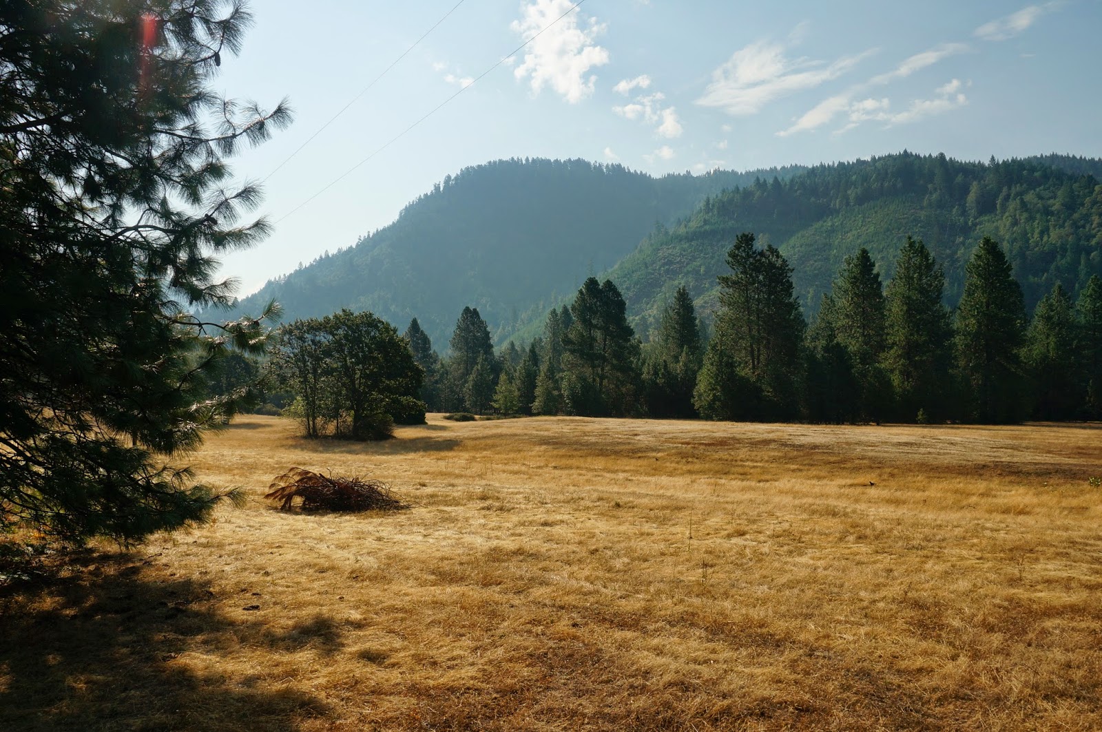
Today is the second Saturday in August. The summer sun sears the landscape.
But even today, this dry plain is painted with a prism of earth tones…
Through the sun suffused creek water, rounded river rocks glint amber, brick red, and blue green.
Olive leafed manzanita grow on the flood plain, tangled and twisted grey branches intertwine with young and healthy red ones.
A single bright orange Buckwheat flower lingers from spring.
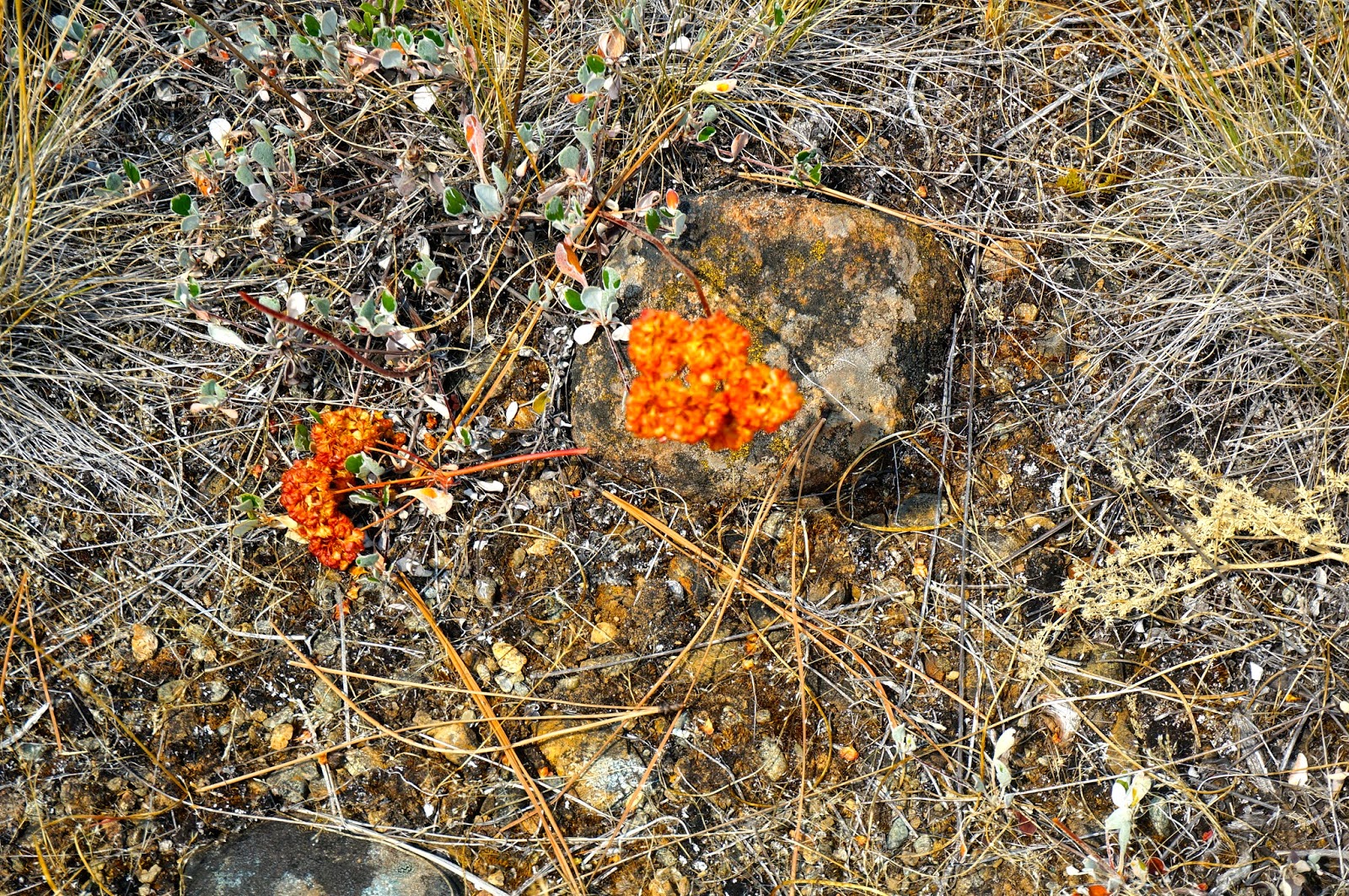
In August you would not know, but every March, April, May and June these dry and infertile soils give life to a lush landscape daubed with lavender, yellow, pink, and blue.
I have not yet visited spring, but someday I will.
Reflections for healing:
Were the soils you grew in fertile or infertile? Why or why not?
What is beautiful about you right now?
Each spring, Rough and Ready Creek Botanical Wayside boasts a beautiful wildflower show. When does your beauty shine for others to see?
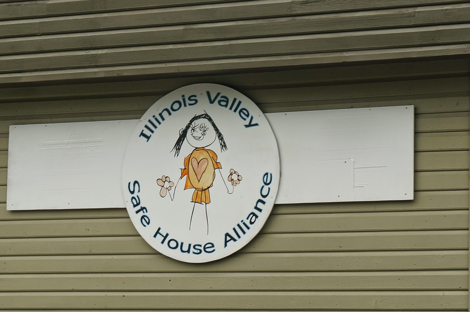
In honor of the Illinois Valley Safe House Alliance in Cave Junction, Oregon, where those struggling with too many toxic people in their lives and too few nurturing ones can come for help and healing from domestic violence and sexual assault.
Directions: From I-5, exit at Grants Pass. Follow signs to travel south to Cave Junction and Crescent City on Highway 199. Rough and Ready Creek Botanical Wayside is located about 35 miles south of Grants Pass, and about 5 miles south of Cave Junction, Oregon.
When to go: To see the wildflower show, visit in March, April, May or June. In winter you can see the rushing flood waters but travel over mountain passes can be dangerous. Walking on the trails across the flood plain is also dangerous in winter. August is hot and dry but has its own beauty.
Copyright 2014 Virginia Pickles Jones
June 24, 2014, http://www.blm.gov/or/resources/recreation/site_info.php?siteid=375